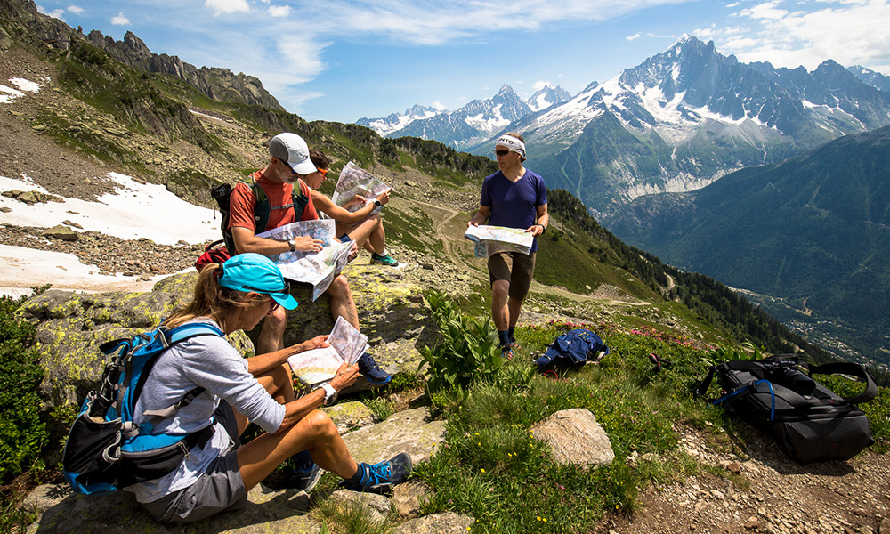
The more people in the group who can navigate confidently the safer it is. © Arc'teryx / Piotr Drozdz
Knowing how to read a map, use a compass and find a safe route through the mountains are essential outdoor skills for hikers, climbers, mountain bikers and trail runners. These skills, the basis of good wayfinding, make our adventures safer and more enjoyable.
In this series of articles, Terho Lahtinen, who works in Suunto’s Emerging Business team, will explain how to develop these essential mountain navigation skills. Terho was lead navigator in an adventure racing team that competed all over the world for eight years. He recently led a clinic on wayfinding at the Arc'teryx Alpine Academy, and helped dedicated adventurers gain greater confidence on their trips.
“The confidence that comes from knowing how to navigate in the mountains helps you to relax on their trips, making them more enjoyable,” Terho says. “Location awareness, map reading and compass orientation are also fun in of themselves.”
In this first article of the series, Terho explains where to begin to develop your wayfinding ability.
Don't be dependent
Yes, it’s true we have GPS nowadays, but digital navigation technology isn’t a replacement for these essential skills; as we explain below, mobile phones and GPS devices should play a support role only.
What happens, for example, if your smartphone runs out of batteries or falls in a river? What if the reception sucks? Or you are dependent on someone in your group to be the navigator and he or she gets it wrong? The more people who know how to navigate the safer the group.
Even if you usually follow well marked trails, knowing how to navigate with a map and compass can come in handy. A few moments of distraction while passing a fork in the path, and you could go in the wrong direction and an hour or so later find yourself wondering where the heck you are. It happens.
Location awareness is key
It all starts here. Without this ability, the other skills will be shaky. Location awareness is more than just knowing where you are. “It’s an attitude of consciously and constantly observing things around us and a sensitivity to notice the essential landmarks,” Terho explains. “It’s almost an intuitive feeling for the landscape around you.”
This honed sense of location awareness makes orientation more straight forward. Orientation is the attempt to determine one’s location by relating your position to nearby objects or landmarks. This depends on being able to relate what you see around you to what you see on a map. It takes time to develop this, but with regular practice it will come.
Start observing
To cultivate location awareness, learn to be more observant. “Start observing things around you, studying maps, correlating map information and the real world to each other, and it gets more and more interesting every day,” Terho says. “If you are using phone apps for navigation, stop using automatic guidance and just use your location on the map, choose the way yourself, and study what’s around you and how it appears on the map or a satellite image.”
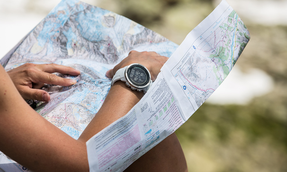
The more you use topo maps, the more you’ll come to love them. © Arc'teryx / Piotr Drozdz
Practice with topographical maps
We all agree that Google Maps is possibly the next best thing to sliced bread. It is immensely helpful when running late for an appointment while navigating in an unfamiliar city, for example. But digital technology has its limitations, too. We should avoid becoming dependent on it.
Terho suggests buying a topographical map of an area you know well and start studying the map and relating what you see around you. Doing this over time will give you a sense of how maps communicate land formations.
“Paper maps never run out of batteries and they won’t break if they fall on the ground,” Terho says. “They contain much more detailed terrain information than most digital maps and are much more practical for planning and for studying larger areas and longer routes.”
Learn the contours
The number one thing to learn is correlating contour lines on the map and topographic shapes in your surrounding landscape to one other. The map should tell you what you can expect to see around you. With time and practice, you get a feeling for this.
“Contour lines describe the shape of the earth’s surface and that’s the most important information on any map for outdoor activities,” Terho says. “Studying maps at home is a great exercise for getting the feeling, comparing map and actual terrain is even better.”
Practice makes perfect
In each article of this series Terho will suggest some homework for you to do to cultivate your wayfinding skills. This first article’s homework will keep you busy!
Map study
Get a terrain map for an area you know well (where you won’t get lost). Study the map at home, spot familiar places on the map and find out how they are illustrated. Compare the map with your memory of those locations.
Terrain recognition
Remember your latest activity in the map area and identify your route on the map. Study the contours lines and look at the intervals between them. Where are the hills? How high are they? Are there any valleys, ridges, gorges, or saddles? Is the slope in a specific location steep or flat? What is the highest point on the map? The lowest? Where is the steepest slope?
Field study
Time to take the map into the field. When you’re out there, align the map with the surrounding terrain (north on the map pointing to the north in the terrain). Look around at what you see and compare it to your map. This can be visualized by imagining the map is fixed to north and you are walking around it, depending on which direction you are going to or looking at. If you are looking south, you are on the north side of the map and north on the map is pointing at you. When changing direction, you are turning, not the map. You are always holding the map in front of you and the map is pointing to north.
Now, choose a route that you’re familiar with. Follow your progress on the map, and spot every detail that’s drawn on the map and identify them in the terrain. This is a great way to learn how the map and the terrain relate to each other.
Panoramic view
Find a spot where you have a sweeping view of the landscape. Keep the map aligned, north pointing north, with the terrain. While looking in different directions, find distinctive terrain features, such as cliffs, peaks, valleys, buildings, and rivers and then locate them on the map.
Guide a buddy
Head into familiar hills with a friend. Make a route plan in advance, explain the plan to your friend including the different terrain features and other objects you are going to use for navigation waypoints. While out there, explain all the things you observe in the terrain and show where they are on the map. Then let your friend do the same.
Stay tuned for the next article in the series: how to plan your route through the mountains!
Lead image: © Arc'teryx / Piotr Drozdz
Read more articles:
7 tips to find a safe track up the mountain